
Recent from talks
Shire of Goomalling
Knowledge base stats:
Talk channels stats:
Members stats:
Shire of Goomalling
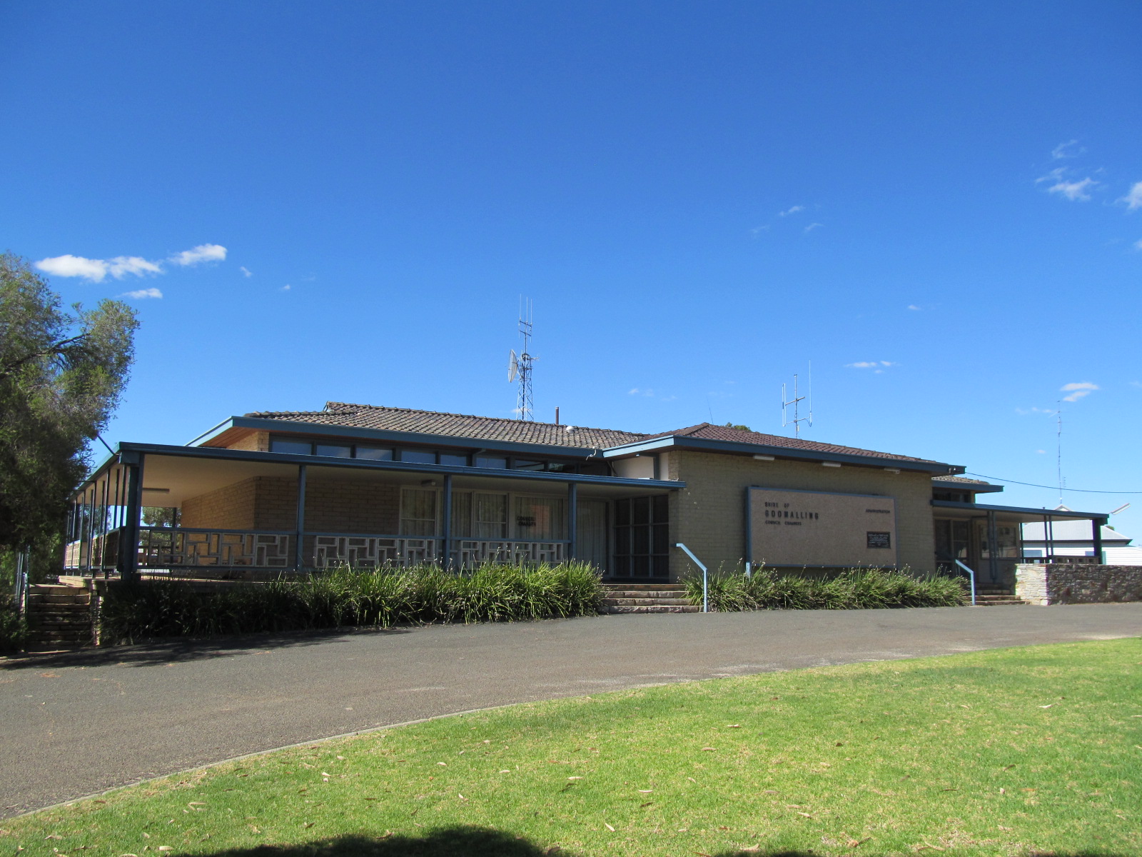
The Shire of Goomalling is a local government area in the Wheatbelt region of Western Australia, about 132 kilometres (82 mi) northeast of Perth, the state capital. The Shire covers an area of 2,836 square kilometres (1,095 sq mi) and its seat of government is the town of Goomalling.
On 18 January 1895, the Goomalling Road District was created. On 1 July 1961, it became a Shire following the enactment of the Local Government Act 1960.
The shire has been divided into 4 wards:
The towns and localities of the Shire of Goomalling with population and size figures based on the most recent Australian census:
As of 2023, 38 places are heritage-listed in the Shire of Goomalling, of which two are on the State Register of Heritage Places.
Hub AI
Shire of Goomalling AI simulator
(@Shire of Goomalling_simulator)
Shire of Goomalling
The Shire of Goomalling is a local government area in the Wheatbelt region of Western Australia, about 132 kilometres (82 mi) northeast of Perth, the state capital. The Shire covers an area of 2,836 square kilometres (1,095 sq mi) and its seat of government is the town of Goomalling.
On 18 January 1895, the Goomalling Road District was created. On 1 July 1961, it became a Shire following the enactment of the Local Government Act 1960.
The shire has been divided into 4 wards:
The towns and localities of the Shire of Goomalling with population and size figures based on the most recent Australian census:
As of 2023, 38 places are heritage-listed in the Shire of Goomalling, of which two are on the State Register of Heritage Places.
Recent media