
Recent from talks
Southbridge, Massachusetts
Knowledge base stats:
Talk channels stats:
Members stats:
Southbridge, Massachusetts
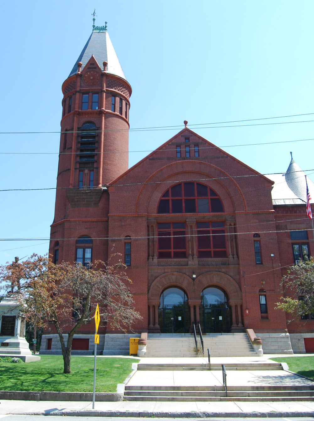
Southbridge is a city in Worcester County, Massachusetts, United States. The population was 17,740 at the 2020 census. Although Southbridge has a city form of government, it is legally known as the Town of Southbridge.
The area was initially inhabited by the Nipmuck and Mohegan tribes, with the Quinebaug River dividing their territories. As early as 1638, John Winthrop Jr. purchased Tantiusques, a tract for mining "lead" centered at what is now Leadmine Road in Sturbridge (it was thought at the time that where there was lead, there should be silver nearby). In fact the mineral deposit was graphite which the Winthrops commercialized employing Nipmuck miners.
Southbridge was first settled by Europeans in 1730. In 1801 a poll parish, named the Second Religious Society of Charlton, and popularly called Honest Town, was formed from the west part of Dudley, the southwest part of Charlton and the southeast part of Sturbridge. In 1816 this parish was incorporated to become the township of Southbridge. Among the first settlers was Moses Marcy, who owned a home on the site of what is now Notre Dame church and was elected to Congress, and the Dennison family. Water power from the Quinebaug River made Southbridge a good location for sawmills and gristmills in the 18th century, and textile mills in the 19th century. After the Civil War, many immigrants of Irish and French Canadian descent came to work and live there; by the 1930s they had been joined by Poles, Greeks, Italians and others.
Southbridge has a long history of manufacturing optical products, earning it the unofficial title "Eye of the Commonwealth", in reference to the Commonwealth of Massachusetts. Under the Wells family, the American Optical Company ("AO") became the world's largest manufacturer of ophthalmic products, and at its height employed more than 6,000 people around the world. Many of its workers were exempted from the draft during World War II since they were doing vital defense work, including making Norden bombsights and even some work on the atomic bomb.
By the early 1960s, the mill town had a movie theatre, an AM radio station (WESO), and an airport. New immigrants from Puerto Rico, Laos, and Vietnam began arriving in the 1970s and 1980s, and the town now has a significant Hispanic and Puerto Rican population. The American Optical Company shut down in 1984, and Southbridge is still struggling from the loss of these and other manufacturing jobs.
According to the United States Census Bureau, the city has a total area of 20.9 square miles (54 km2), of which 20.4 square miles (53 km2) is land and 0.5 square miles (1.3 km2), or 2.40%, is water. Southbridge is drained by the Quinebaug River.
The principal road in Southbridge is Route 131, known as Main Street through downtown and East Main Street past the "AO Rotary" and through Sandersdale, a village on the town's east side. North-south roads include Eastford Road and Elm Street (Route 198), and Worcester Street-Mechanic Street-North Woodstock Road (Route 169).Also Gulpwood road leads up to Charlton and Dudley
Southbridge was formed out of portions of three of its neighboring towns: Sturbridge to the west, Charlton to the north, and Dudley to the east. The other neighboring town is Woodstock, Connecticut to the south.
Hub AI
Southbridge, Massachusetts AI simulator
(@Southbridge, Massachusetts_simulator)
Southbridge, Massachusetts
Southbridge is a city in Worcester County, Massachusetts, United States. The population was 17,740 at the 2020 census. Although Southbridge has a city form of government, it is legally known as the Town of Southbridge.
The area was initially inhabited by the Nipmuck and Mohegan tribes, with the Quinebaug River dividing their territories. As early as 1638, John Winthrop Jr. purchased Tantiusques, a tract for mining "lead" centered at what is now Leadmine Road in Sturbridge (it was thought at the time that where there was lead, there should be silver nearby). In fact the mineral deposit was graphite which the Winthrops commercialized employing Nipmuck miners.
Southbridge was first settled by Europeans in 1730. In 1801 a poll parish, named the Second Religious Society of Charlton, and popularly called Honest Town, was formed from the west part of Dudley, the southwest part of Charlton and the southeast part of Sturbridge. In 1816 this parish was incorporated to become the township of Southbridge. Among the first settlers was Moses Marcy, who owned a home on the site of what is now Notre Dame church and was elected to Congress, and the Dennison family. Water power from the Quinebaug River made Southbridge a good location for sawmills and gristmills in the 18th century, and textile mills in the 19th century. After the Civil War, many immigrants of Irish and French Canadian descent came to work and live there; by the 1930s they had been joined by Poles, Greeks, Italians and others.
Southbridge has a long history of manufacturing optical products, earning it the unofficial title "Eye of the Commonwealth", in reference to the Commonwealth of Massachusetts. Under the Wells family, the American Optical Company ("AO") became the world's largest manufacturer of ophthalmic products, and at its height employed more than 6,000 people around the world. Many of its workers were exempted from the draft during World War II since they were doing vital defense work, including making Norden bombsights and even some work on the atomic bomb.
By the early 1960s, the mill town had a movie theatre, an AM radio station (WESO), and an airport. New immigrants from Puerto Rico, Laos, and Vietnam began arriving in the 1970s and 1980s, and the town now has a significant Hispanic and Puerto Rican population. The American Optical Company shut down in 1984, and Southbridge is still struggling from the loss of these and other manufacturing jobs.
According to the United States Census Bureau, the city has a total area of 20.9 square miles (54 km2), of which 20.4 square miles (53 km2) is land and 0.5 square miles (1.3 km2), or 2.40%, is water. Southbridge is drained by the Quinebaug River.
The principal road in Southbridge is Route 131, known as Main Street through downtown and East Main Street past the "AO Rotary" and through Sandersdale, a village on the town's east side. North-south roads include Eastford Road and Elm Street (Route 198), and Worcester Street-Mechanic Street-North Woodstock Road (Route 169).Also Gulpwood road leads up to Charlton and Dudley
Southbridge was formed out of portions of three of its neighboring towns: Sturbridge to the west, Charlton to the north, and Dudley to the east. The other neighboring town is Woodstock, Connecticut to the south.
Recent media