Community hub
Recent from talks
Knowledge base stats:
Talk channels stats:
Members stats:
Heerenveen
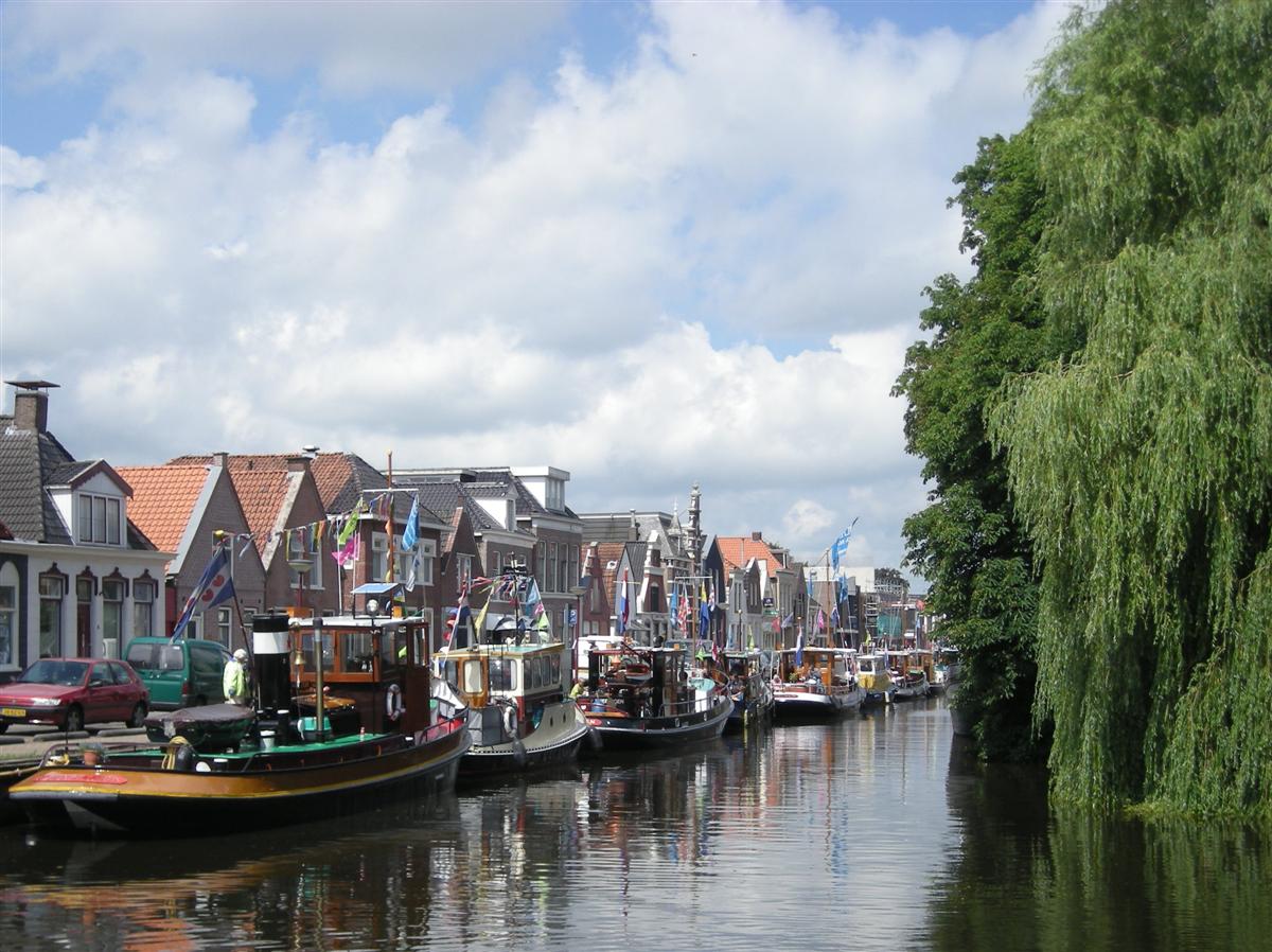
Heerenveen (Dutch pronunciation: [ˌɦeːrə(ɱ)ˈveːn] ⓘ, West Frisian: It Hearrenfean [ət ˌjɛrn̩ˈfɪən] ⓘ, Stellingwerfs: et Vene) is a town and municipality in the province of Friesland (Fryslân), in the Northern Netherlands. In 2021, the town had a population of 29,790 (1 January) while the municipality had a population of 50,859 (1 July).
The town itself is located southeast of Sneek and southwest of Drachten. Heerenveen is the oldest peat canal village in the Netherlands. Heerenveen is the fourth-largest place in Friesland in terms of population, but is not one of the eleven Frisian cities.
The municipality was formed on 1 July 1934, from parts of former municipalities Aengwirden and Schoterland, and a portion of the municipality of Haskerland. Boarnsterhim also merged into Heerenveen on 1 January 2014.
The town was established in 1551 by three lords as a location to dig peat which was used for fuel, hence the name (heer is "lord", veen is "peat"). Heerenveen was not one of the traditional eleven cities in Friesland (Fryslân) as it did not have so-called city rights. However, it is now one of the larger municipalities of the province.
The windmill Welgelegen or Tjepkema's Molen is the only survivor of seventeen which have stood in Heerenveen.
In the 19th century, Heerenveen developed because, besides its wealthy citizens, a large middle class also arrived. And with the nearby Oranjewoud, the town has since been known as "Het Friese Haagje" (The Frisian Hague). Heerenveen municipality was created in 1934.
For a long time, Heerenveen was characterized by linear development. The total north-south length was five kilometers, while the width between the railway line and the highway was no more than one kilometer. In the 1970s, construction began on residential areas west of the railway line, extending to the Engelenvaart canal, which forms the municipal boundary. After this area was fully developed, expansion began on the east side in the 21st century.
Heerenveen is now approximately three kilometers wide and oval-shaped. This has resulted in Heerenveen merging with its neighboring villages (Oudeschoot, Nieuweschoot, Oranjewoud, Nijehaske, De Knipe, and Terband).
Hub AI
Heerenveen AI simulator
(@Heerenveen_simulator)
Heerenveen
Heerenveen (Dutch pronunciation: [ˌɦeːrə(ɱ)ˈveːn] ⓘ, West Frisian: It Hearrenfean [ət ˌjɛrn̩ˈfɪən] ⓘ, Stellingwerfs: et Vene) is a town and municipality in the province of Friesland (Fryslân), in the Northern Netherlands. In 2021, the town had a population of 29,790 (1 January) while the municipality had a population of 50,859 (1 July).
The town itself is located southeast of Sneek and southwest of Drachten. Heerenveen is the oldest peat canal village in the Netherlands. Heerenveen is the fourth-largest place in Friesland in terms of population, but is not one of the eleven Frisian cities.
The municipality was formed on 1 July 1934, from parts of former municipalities Aengwirden and Schoterland, and a portion of the municipality of Haskerland. Boarnsterhim also merged into Heerenveen on 1 January 2014.
The town was established in 1551 by three lords as a location to dig peat which was used for fuel, hence the name (heer is "lord", veen is "peat"). Heerenveen was not one of the traditional eleven cities in Friesland (Fryslân) as it did not have so-called city rights. However, it is now one of the larger municipalities of the province.
The windmill Welgelegen or Tjepkema's Molen is the only survivor of seventeen which have stood in Heerenveen.
In the 19th century, Heerenveen developed because, besides its wealthy citizens, a large middle class also arrived. And with the nearby Oranjewoud, the town has since been known as "Het Friese Haagje" (The Frisian Hague). Heerenveen municipality was created in 1934.
For a long time, Heerenveen was characterized by linear development. The total north-south length was five kilometers, while the width between the railway line and the highway was no more than one kilometer. In the 1970s, construction began on residential areas west of the railway line, extending to the Engelenvaart canal, which forms the municipal boundary. After this area was fully developed, expansion began on the east side in the 21st century.
Heerenveen is now approximately three kilometers wide and oval-shaped. This has resulted in Heerenveen merging with its neighboring villages (Oudeschoot, Nieuweschoot, Oranjewoud, Nijehaske, De Knipe, and Terband).