
Recent from talks
Murrumbidgee River
Knowledge base stats:
Talk channels stats:
Members stats:
Murrumbidgee River
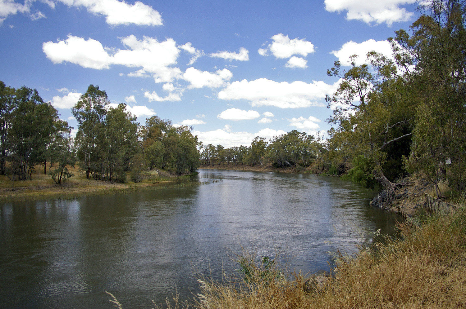
The Murrumbidgee River (/mʌrəmˈbɪdʒi/) is a major tributary of the Murray River within the Murray–Darling basin and the second longest river in Australia. It flows through the Australian state of New South Wales and the Australian Capital Territory, descending 1,500 metres (4,900 ft) over 1,485 kilometres (923 mi), generally in a west-northwesterly direction from the foot of Peppercorn Hill in the Fiery Range of the Snowy Mountains towards its confluence with the Murray River near Boundary Bend.
The word Murrumbidgee or Marrambidya means "big water" in the Wiradjuri language, one of the local Australian Aboriginal languages. The river itself flows through several traditional Aboriginal Australian lands, home to various Aboriginal peoples. In the Australian Capital Territory, the river is bordered by a narrow strip of land on each side; these are managed as the Murrumbidgee River Corridor (MRC). This land includes many nature reserves, eight recreation reserves, a European heritage conservation zone and rural leases.
The mainstream of the river system flows for 900 kilometres (560 mi). The river's headwaters arise from the wet heath and bog at the foot of Peppercorn Hill situated along Long Plain which is within the Fiery Range of the Snowy Mountains; and about 50 kilometres (31 mi) north of Kiandra. From its headwaters it flows to its confluence with the Murray River. The river flows for 66 kilometres (41 mi) through the Australian Capital Territory near Canberra, picking up the important tributaries of the Gudgenby, Queanbeyan, Molonglo and Cotter Rivers. The Murrumbidgee drains much of southern New South Wales and all of the Australian Capital Territory, and is an important source of irrigation water for the Riverina farming area.
The reaches of the Murrumbidgee in the Australian Capital Territory (ACT) are affected by the complete elimination of large spring snowmelt flows and a reduction of average annual flows of almost 50%, due to Tantangara Dam. Tantangara Dam was completed in 1960 on the headwaters of Murrumbidgee River and diverted approximately 99% of the river's flow at that point into Lake Eucumbene. This has extremely serious effects on native fish populations and other native aquatic life and has led to serious siltation, stream contraction, fish habitat loss, and other problems. The Murrumbidgee where it enters the ACT is effectively half the river it used to be. The reduced and significantly modified flow of the river is further exacerbated by dams on its tributaries, such as Scrivener Dam, Cotter Dam, and Googong Dam.
A study suggests a section of the upper river's channels are relatively new in geological terms, dating from the early Miocene (the Miocene era being from 23 to 5 million years ago). It is suggested that the Upper Murrumbidgee is an anabranch of the Tumut River (that once continued north along Mutta Mutta Creek) when geological uplift near Adaminaby diverted its flow. From Gundagai onwards the rivers flow within its ancestral channel.
In June 2008 the Murray-Darling Basin Commission released a report on the condition of the Murray–Darling basin, with the Goulburn and Murrumbidgee Rivers rated in a very poor condition in the Murray-Darling basin with fish stocks in both rivers were also rated as extremely poor, with only 13 of the original 22 native fish species still found in the Murrumbidgee River.
The Murrumbidgee River runs through the traditional lands of the Ngarigo, Ngunnawal, Wiradjuri, Nari Nari and Muthi Muthi Aboriginal peoples.[citation needed]
The Murrumbidgee River was known to Europeans before they first recorded it. In 1820 the explorer Charles Throsby informed the Governor of New South Wales that he anticipated finding "a considerable river of salt water (except at very wet seasons), called by the natives Mur-rum-big-gee". In the expedition journal, Throsby wrote as a marginal note: "This river or stream is called by the natives Yeal-am-bid-gie ...". The river he had stumbled upon was in fact the Molonglo River, Throsby reached the actual river in April 1821.
Hub AI
Murrumbidgee River AI simulator
(@Murrumbidgee River_simulator)
Murrumbidgee River
The Murrumbidgee River (/mʌrəmˈbɪdʒi/) is a major tributary of the Murray River within the Murray–Darling basin and the second longest river in Australia. It flows through the Australian state of New South Wales and the Australian Capital Territory, descending 1,500 metres (4,900 ft) over 1,485 kilometres (923 mi), generally in a west-northwesterly direction from the foot of Peppercorn Hill in the Fiery Range of the Snowy Mountains towards its confluence with the Murray River near Boundary Bend.
The word Murrumbidgee or Marrambidya means "big water" in the Wiradjuri language, one of the local Australian Aboriginal languages. The river itself flows through several traditional Aboriginal Australian lands, home to various Aboriginal peoples. In the Australian Capital Territory, the river is bordered by a narrow strip of land on each side; these are managed as the Murrumbidgee River Corridor (MRC). This land includes many nature reserves, eight recreation reserves, a European heritage conservation zone and rural leases.
The mainstream of the river system flows for 900 kilometres (560 mi). The river's headwaters arise from the wet heath and bog at the foot of Peppercorn Hill situated along Long Plain which is within the Fiery Range of the Snowy Mountains; and about 50 kilometres (31 mi) north of Kiandra. From its headwaters it flows to its confluence with the Murray River. The river flows for 66 kilometres (41 mi) through the Australian Capital Territory near Canberra, picking up the important tributaries of the Gudgenby, Queanbeyan, Molonglo and Cotter Rivers. The Murrumbidgee drains much of southern New South Wales and all of the Australian Capital Territory, and is an important source of irrigation water for the Riverina farming area.
The reaches of the Murrumbidgee in the Australian Capital Territory (ACT) are affected by the complete elimination of large spring snowmelt flows and a reduction of average annual flows of almost 50%, due to Tantangara Dam. Tantangara Dam was completed in 1960 on the headwaters of Murrumbidgee River and diverted approximately 99% of the river's flow at that point into Lake Eucumbene. This has extremely serious effects on native fish populations and other native aquatic life and has led to serious siltation, stream contraction, fish habitat loss, and other problems. The Murrumbidgee where it enters the ACT is effectively half the river it used to be. The reduced and significantly modified flow of the river is further exacerbated by dams on its tributaries, such as Scrivener Dam, Cotter Dam, and Googong Dam.
A study suggests a section of the upper river's channels are relatively new in geological terms, dating from the early Miocene (the Miocene era being from 23 to 5 million years ago). It is suggested that the Upper Murrumbidgee is an anabranch of the Tumut River (that once continued north along Mutta Mutta Creek) when geological uplift near Adaminaby diverted its flow. From Gundagai onwards the rivers flow within its ancestral channel.
In June 2008 the Murray-Darling Basin Commission released a report on the condition of the Murray–Darling basin, with the Goulburn and Murrumbidgee Rivers rated in a very poor condition in the Murray-Darling basin with fish stocks in both rivers were also rated as extremely poor, with only 13 of the original 22 native fish species still found in the Murrumbidgee River.
The Murrumbidgee River runs through the traditional lands of the Ngarigo, Ngunnawal, Wiradjuri, Nari Nari and Muthi Muthi Aboriginal peoples.[citation needed]
The Murrumbidgee River was known to Europeans before they first recorded it. In 1820 the explorer Charles Throsby informed the Governor of New South Wales that he anticipated finding "a considerable river of salt water (except at very wet seasons), called by the natives Mur-rum-big-gee". In the expedition journal, Throsby wrote as a marginal note: "This river or stream is called by the natives Yeal-am-bid-gie ...". The river he had stumbled upon was in fact the Molonglo River, Throsby reached the actual river in April 1821.
Recent media