
Community hub
Recent from talks
Contribute something
Nothing was collected or created yet.
Plummer Additional
View on Wikipedia

Key Information


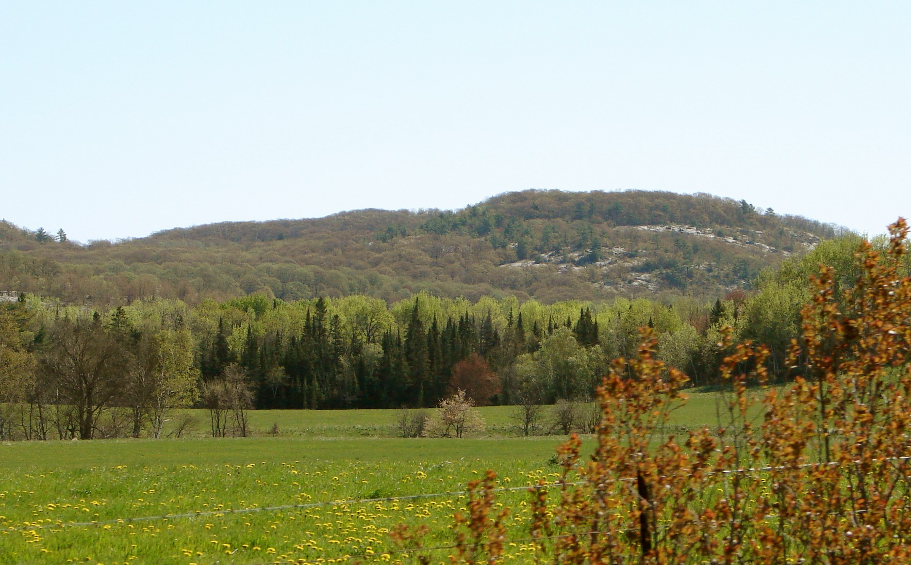
Plummer Additional is a township and single tier municipality[2] located in Algoma District in Northeastern Ontario, Canada. The township had a population of 660 in the Canada 2016 Census.
Communities
[edit]The township includes the communities of Bruce Station, Cloudslee, Plummer, Rock Lake and Rydal Bank.
The town of Bruce Mines is wholly surrounded by, but politically independent of, the township; it was separated in 1903. However, the 2010 mayoral election in Bruce Mines was won by Gordon Post, a candidate who pledged to investigate the feasibility of reamalgamating the two municipalities.[3]
History
[edit]Rydal Bank Church located at Rydal Bank within the township is a municipally designated heritage site.
Demographics
[edit]In the 2021 Census of Population conducted by Statistics Canada, Plummer Additional had a population of 757 living in 328 of its 519 total private dwellings, a change of 14.7% from its 2016 population of 660. With a land area of 219.24 km2 (84.65 sq mi), it had a population density of 3.5/km2 (8.9/sq mi) in 2021.[4]
| 2021 | 2016 | 2011 | |
|---|---|---|---|
| Population | 757 (+14.7% from 2016) | 660 (1.5% from 2011) | 650 (4.0% from 2006) |
| Land area | 219.24 km2 (84.65 sq mi) | 220.30 km2 (85.06 sq mi) | 221.97 km2 (85.70 sq mi) |
| Population density | 3.5/km2 (9.1/sq mi) | 3.0/km2 (7.8/sq mi) | 2.9/km2 (7.5/sq mi) |
| Median age | 52.4 (M: 50, F: 53.2) | 52.1 (M: 51.2, F: 54.0) | |
| Private dwellings | 330 (total) | 515 (total) | 433 (total) |
| Median household income |
Population trend:[8]
- Population in 2016: 660
- Population in 2011: 650
- Population in 2006: 625
- Population in 2001: 671
- Population in 1996: 693
- Population in 1991: 596
Transportation
[edit]The township is served by Ontario Highway 17 which traverses the south in an east–west orientation, and Ontario Highway 638, which travels the middle of the township in a north–south orientation.
See also
[edit]References
[edit]- ^ a b "Plummer Additional census profile". 2016 Census of Population. Statistics Canada. Retrieved 2019-06-04.
- ^ "List of Ontario Municipalities". Ontario Ministry of Municipal Affairs and Housing. 2011-01-06. Archived from the original on 2013-02-28. Retrieved 2011-02-26.
- ^ Ougler, Jeffrey (October 26, 2010). "Post delivered to top Bruce Mines post; to probe Plummer union". Sault Star. Retrieved February 27, 2011.
- ^ "Population and dwelling counts: Canada, provinces and territories, census divisions and census subdivisions (municipalities), Ontario". Statistics Canada. February 9, 2022. Retrieved April 2, 2022.
- ^ "2021 Community Profiles". 2021 Canadian census. Statistics Canada. February 4, 2022. Retrieved 2022-04-27.
- ^ "2016 Community Profiles". 2016 Canadian census. Statistics Canada. August 12, 2021. Retrieved 2019-06-04.
- ^ "2011 Community Profiles". 2011 Canadian census. Statistics Canada. March 21, 2019. Retrieved 2012-02-17.
- ^ Statistics Canada: 1996, 2001, 2006, 2011 census
- "Plummer Additional". Geographical Names Data Base. Natural Resources Canada. Retrieved 2011-02-24.
- "Plummer Additional". Atlas of Canada. Natural Resources Canada. 2010-02-04. Retrieved 2011-02-24.
External links
[edit]Places adjacent to Plummer Additional | ||||||||||||||||
|---|---|---|---|---|---|---|---|---|---|---|---|---|---|---|---|---|
| ||||||||||||||||
