
Community hub
0 subscribers8 pages, 0 posts
Recent from talks
All channels
Be the first to start a discussion here.
Be the first to start a discussion here.
Be the first to start a discussion here.
Be the first to start a discussion here.
Contribute something
Welcome to the community hub built to collect knowledge and have discussions related to Ram Range.
Nothing was collected or created yet.
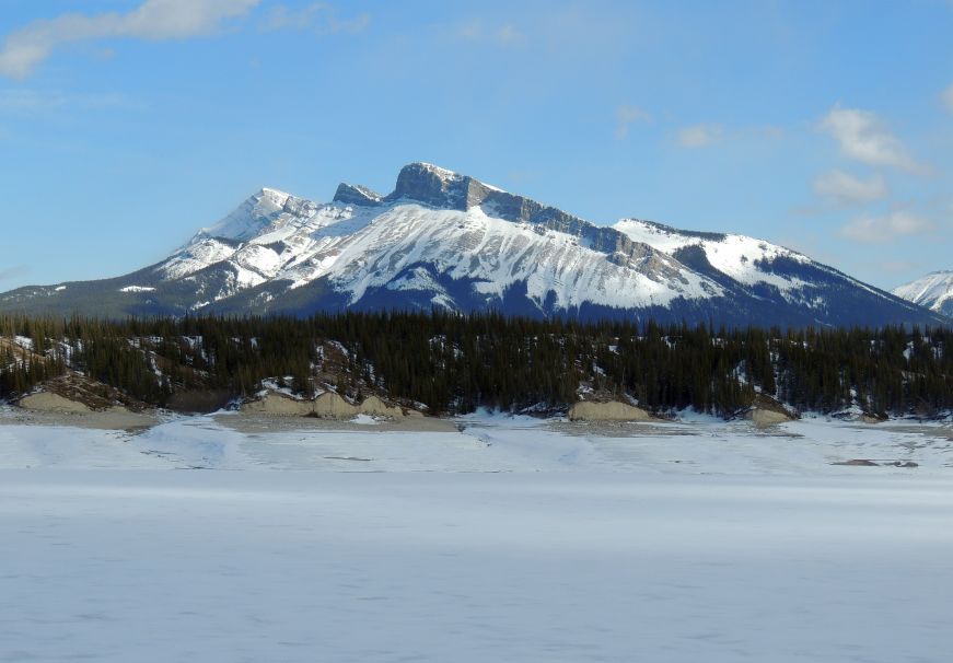
Ram Range
View on Wikipediafrom Wikipedia
The Ram Range is a mountain range of the Canadian Rockies located in David Thompson Country, Canada. The range extends southeast from Abraham Lake to the Ram River. It is bounded on the southwest by Whiterabbit Creek.
Key Information


List of mountains
[edit]This range includes the following mountains and peaks:
| Mountain/Peak | Elevation | Coordinates | |
|---|---|---|---|
| m | ft | ||
| Canary Peak | 2,844 | 9,331 | |
| Mount Bramwell[5] | 2,758 | 9,049 | |
| Wingnut Peak[6] | 2,758 | 9,049 | |
| Mount William Booth | 2,728 | 8,950 | 52°5′24″N 116°19′18″W / 52.09000°N 116.32167°W |
| Finch Peak[7] | 2,606 | 8,550 | |
| Hummingbird Peak[8] | 2,594 | 8,510 | |
| Kista Peak | 2,576 | 8,451 | 52°13′49″N 116°13′59″W / 52.23028°N 116.23306°W |
| Mount Michener | 2,545 | 8,350 | 52°12′24″N 116°23′26″W / 52.20667°N 116.39056°W |
References
[edit]- ^ a b c "Canary Peak". Bivouac.com. Retrieved 2023-12-22.
- ^ "Topographic map of Canary Peak". opentopomap.org. Retrieved 2023-12-22.
- ^ a b c "Ram Range". Peakbagger.com. Retrieved 2023-12-22.
- ^ a b "Ram Range". Geographical Names Data Base. Natural Resources Canada. Retrieved 2023-12-22.
- ^ "Mount Bramwell". Bivouac.com. Retrieved 2023-12-22.
- ^ "Wingnut Peak". Bivouac.com. Retrieved 2023-12-22.
- ^ "Finch Peak". Bivouac.com. Retrieved 2023-12-22.
- ^ "Hummingbird Peak". Bivouac.com. Retrieved 2023-12-22.