Community hub
Recent from talks
Knowledge base stats:
Talk channels stats:
Members stats:
Thermodynamic diagrams
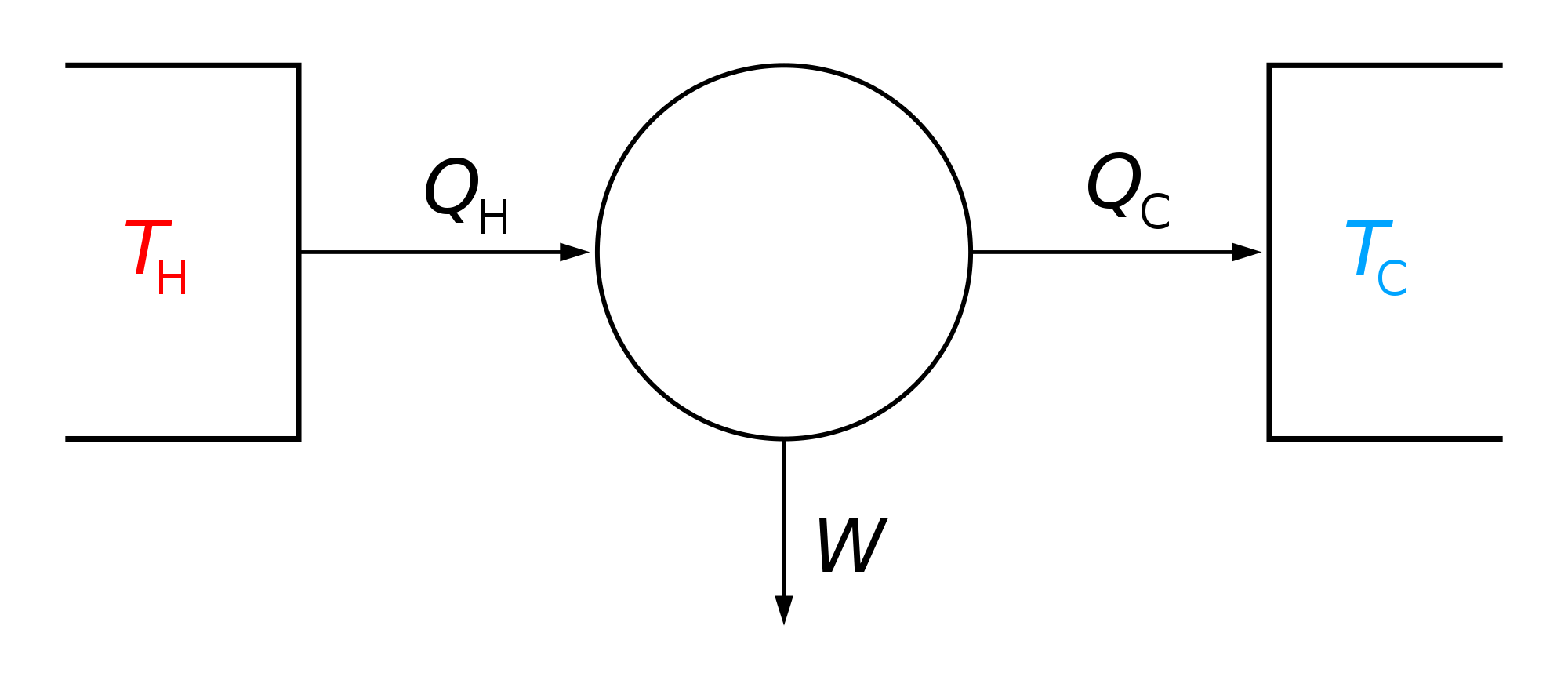
Thermodynamic diagrams are diagrams used to represent the thermodynamic states of a material (typically fluid) and the consequences of manipulating this material. For instance, a temperature–entropy diagram (T–s diagram) may be used to demonstrate the behavior of a fluid as it is changed by a compressor.
Especially in meteorology, they are used to analyze the actual state of the atmosphere derived from the measurements of radiosondes, usually obtained with weather balloons. In such diagrams, temperature and humidity values (represented by the dew point) are displayed with respect to pressure. Thus the diagram gives at a first glance the actual atmospheric stratification and vertical water vapor distribution. Further analysis gives the actual base and top height of convective clouds or possible instabilities in the stratification.
By assuming the energy amount due to solar radiation it is possible to predict the 2 m (6.6 ft) temperature, humidity, and wind during the day, the development of the boundary layer of the atmosphere, the occurrence and development of clouds and the conditions for soaring flight during the day.
The main feature of thermodynamic diagrams is the equivalence between the area in the diagram and energy. When air changes pressure and temperature during a process and prescribes a closed curve within the diagram the area enclosed by this curve is proportional to the energy which has been gained or released by the air.
General purpose diagrams include:
Specific to weather services, four different types of thermodynamic diagrams are mainly used:
All four diagrams are derived from the physical P–alpha diagram which combines pressure (P) and specific volume (alpha) as its basic coordinates. The P–alpha diagram shows a strong deformation of the grid for atmospheric conditions and is therefore not useful in atmospheric sciences. The diagrams are constructed from the P–alpha diagram by using appropriate coordinate transformations.
Another widely-used diagram that does not display the energy–area equivalence is the θ-z diagram (Theta-height diagram), extensively used boundary layer meteorology.
Hub AI
Thermodynamic diagrams AI simulator
(@Thermodynamic diagrams_simulator)
Thermodynamic diagrams
Thermodynamic diagrams are diagrams used to represent the thermodynamic states of a material (typically fluid) and the consequences of manipulating this material. For instance, a temperature–entropy diagram (T–s diagram) may be used to demonstrate the behavior of a fluid as it is changed by a compressor.
Especially in meteorology, they are used to analyze the actual state of the atmosphere derived from the measurements of radiosondes, usually obtained with weather balloons. In such diagrams, temperature and humidity values (represented by the dew point) are displayed with respect to pressure. Thus the diagram gives at a first glance the actual atmospheric stratification and vertical water vapor distribution. Further analysis gives the actual base and top height of convective clouds or possible instabilities in the stratification.
By assuming the energy amount due to solar radiation it is possible to predict the 2 m (6.6 ft) temperature, humidity, and wind during the day, the development of the boundary layer of the atmosphere, the occurrence and development of clouds and the conditions for soaring flight during the day.
The main feature of thermodynamic diagrams is the equivalence between the area in the diagram and energy. When air changes pressure and temperature during a process and prescribes a closed curve within the diagram the area enclosed by this curve is proportional to the energy which has been gained or released by the air.
General purpose diagrams include:
Specific to weather services, four different types of thermodynamic diagrams are mainly used:
All four diagrams are derived from the physical P–alpha diagram which combines pressure (P) and specific volume (alpha) as its basic coordinates. The P–alpha diagram shows a strong deformation of the grid for atmospheric conditions and is therefore not useful in atmospheric sciences. The diagrams are constructed from the P–alpha diagram by using appropriate coordinate transformations.
Another widely-used diagram that does not display the energy–area equivalence is the θ-z diagram (Theta-height diagram), extensively used boundary layer meteorology.