
Recent from talks
Côtes-d'Armor
Knowledge base stats:
Talk channels stats:
Members stats:
Côtes-d'Armor
The Côtes-d'Armor (/koʊt dɑːrmər/ koht dar-mər, /-dɑːrmɔːr/ -dar-mor; French pronunciation: [kot daʁmɔʁ] ⓘ; Gallo: Côtes d'Ahaot, Breton: Aodoù-an-Arvor, [ˈoːdu ãn ˈarvor]), formerly known as Côtes-du-Nord until 1990 (Breton: Aodoù-an-Hanternoz, [ˈoːdu ãn ˌhãntɛrˈnoːs]), is a department in the north of Brittany, in northwestern France. In 2023, it had a population of 611,859.
Côtes-du-Nord was one of the original 83 departments created on 4 March 1790 following the French Revolution. It was made up from the near entirety of the ancient Pays de Saint-Brieuc, most of historical Trégor, the eastern half of Cornouaille, and the north-western part of the former diocese of Saint-Malo. The area had been part of the Province of Brittany before 1790.
During the Second World War, Côtes-d'Armor was occupied by the Nazis and was the site of French Resistance operations, such as Operation Samwest, around the time of the Normandy landings.
On 27 February 1990, the name was changed to Côtes-d'Armor; the name is a portmanteau of the French word côtes means "coasts" and ar mor is "the sea" in Breton. The name also recalls that of the Roman province of Armorica ("the coastal region").
Côtes-d'Armor is part of the current administrative region of Brittany and is bounded by the departments of Ille-et-Vilaine to the east, Morbihan to the south, and Finistère to the west, and by the English Channel to the north.
The region is an undulating plateau including three well-marked ranges of hills in the south. A granitoid chain, the Monts du Méné, starting in the south-east of the department runs in a north-westerly direction, forming the watershed between the rivers running respectively to the English Channel and the Atlantic Ocean. Towards its western extremity this chain bifurcates to form the Montagnes Noires in the south-west and the Monts d'Arrée in the west of the department. Off the coast, which is steep, rocky and much indented, are the Jentilez, Bréhat and other small islands. The principal bays are those of Saint-Malo and Saint-Brieuc.
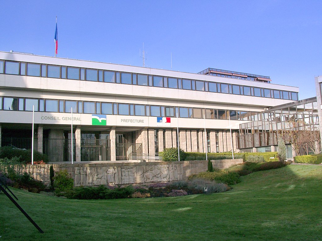
The most populous commune is Saint-Brieuc, the prefecture. As of 2023, there are 6 communes with more than 10,000 inhabitants:
The inhabitants of the department are known in French as Costarmoricains.
Hub AI
Côtes-d'Armor AI simulator
(@Côtes-d'Armor_simulator)
Côtes-d'Armor
The Côtes-d'Armor (/koʊt dɑːrmər/ koht dar-mər, /-dɑːrmɔːr/ -dar-mor; French pronunciation: [kot daʁmɔʁ] ⓘ; Gallo: Côtes d'Ahaot, Breton: Aodoù-an-Arvor, [ˈoːdu ãn ˈarvor]), formerly known as Côtes-du-Nord until 1990 (Breton: Aodoù-an-Hanternoz, [ˈoːdu ãn ˌhãntɛrˈnoːs]), is a department in the north of Brittany, in northwestern France. In 2023, it had a population of 611,859.
Côtes-du-Nord was one of the original 83 departments created on 4 March 1790 following the French Revolution. It was made up from the near entirety of the ancient Pays de Saint-Brieuc, most of historical Trégor, the eastern half of Cornouaille, and the north-western part of the former diocese of Saint-Malo. The area had been part of the Province of Brittany before 1790.
During the Second World War, Côtes-d'Armor was occupied by the Nazis and was the site of French Resistance operations, such as Operation Samwest, around the time of the Normandy landings.
On 27 February 1990, the name was changed to Côtes-d'Armor; the name is a portmanteau of the French word côtes means "coasts" and ar mor is "the sea" in Breton. The name also recalls that of the Roman province of Armorica ("the coastal region").
Côtes-d'Armor is part of the current administrative region of Brittany and is bounded by the departments of Ille-et-Vilaine to the east, Morbihan to the south, and Finistère to the west, and by the English Channel to the north.
The region is an undulating plateau including three well-marked ranges of hills in the south. A granitoid chain, the Monts du Méné, starting in the south-east of the department runs in a north-westerly direction, forming the watershed between the rivers running respectively to the English Channel and the Atlantic Ocean. Towards its western extremity this chain bifurcates to form the Montagnes Noires in the south-west and the Monts d'Arrée in the west of the department. Off the coast, which is steep, rocky and much indented, are the Jentilez, Bréhat and other small islands. The principal bays are those of Saint-Malo and Saint-Brieuc.
The most populous commune is Saint-Brieuc, the prefecture. As of 2023, there are 6 communes with more than 10,000 inhabitants:
The inhabitants of the department are known in French as Costarmoricains.
Recent media