Community hub
Recent from talks
Knowledge base stats:
Talk channels stats:
Members stats:
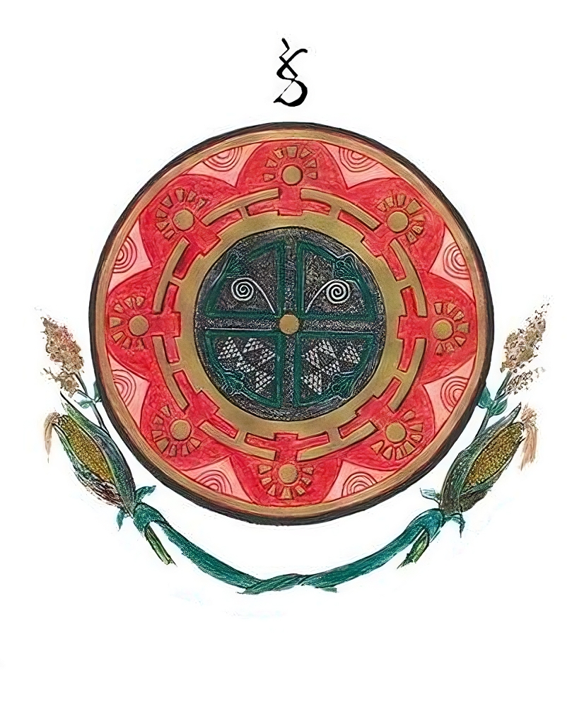
Muisca Confederations (political units)
Muisca Confederations were loose confederations of different Muisca chiefdoms in the Eastern Andean highlands of what is today Colombia before the Spanish conquest of northern South America. These unions, centred around main chiefdoms recognised by smaller ones, were not a single, even loose, muisca confederation of chiefdoms, but multiple, independent regional entities. The area, presently called Altiplano Cundiboyacense, comprised the current departments of Boyacá, Cundinamarca and minor parts of Santander.
Usually, muisca chiefdoms were composed of various basic matrilineal units (uta, minor, or sibyn, major) called capitanías by the Spaniards. However, power was based on individual alliances of muisca rulers with households or basic units. Often, sibyn were villages and uta groups of houses. Four confederations of chiefdoms formed in muisca territory: Bogotá, Tunja, Duitama and Sogamoso. Additionally, The Chibcha-speaking Guane and Lache were also ruled by the confederation of Guanentá and the confederation of El Cocuy respectively. Different models exist to explain the nature of power among muisca elites.
The Muiscas lived in the Andes Orientales in a territory of approximately 22.000 km2. At the time of the Spanish Conquest, four confederations existed in their territory (Bogotá, Tunja, Duitama, Sogamoso). According to colonial documents, the confederations of Sogamoso and Duitama were independent of Tunja and had great importance. Political power was not based on economic or political subordination but recognition of certain authorities, sometimes multiple at a time. The size of muisca population remains debated. The most powerful chiefdom at the time of the Spanish conquest was Bogotá. Additionally, there were independant chiefdoms in the north-west, not affilitiated to any confederation.
Muisca settlements were organised around the cacique's enclosure or cercado. Roads were present to connect the settlements with each other and with the surrounding indigenous groups, of which the Guane and Lache to the north, the Panche and Muzo to the west and Guayupe, Achagua and Tegua to the east were the most important.[citation needed]
Early Amerindian settlers led a hunter-gatherer life among still extant megafauna living in cool habitats around Pleistocene lakes, of which the humedales in Bogotá, Lake Suesca, Lake Fúquene and Lake Herrera are notable examples. Multiple evidences of late Pleistocene to middle Holocene population of the Bogotá savanna, the high plateau in the Colombian Andes, have been found to date. As is common with caves and rock shelters, Tequendama was inhabited from around 11,000 years BP, and continuing into the prehistorical, Herrera and Muisca periods, making it the oldest site of Colombia, together with El Abra (12,500 BP), located north of Zipaquirá and Tibitó, located within the boundaries of Tocancipá (11,740 BP). The oldest human remains and the oldest complete skeleton were discovered at Tequendama and has been named "Hombre del Tequendama" or Homo Tequendama. Other artefacts have been found in Gachalá (9100 BP), Sueva (Junín) and Zipacón. Just west of the Altiplano, the oldest archaeological remains were found; in Pubenza, part of Tocaima and have been dated at 16,000 years Before Present.
The Herrera Period is a historical period named after the La Herrera lake, south of Bogotá, it took place approximately between 800 BCE to 800 AD. However, current academic consensus considers the period to have ranged from 400 B.C. to 1000 A.D., with regional variations. The muisca arrival to the Altiplano Cundibyacense most likely pre-dated the beginning of the Herrera period. However, the exact date of their arrival is unknown, and the least oldest date would be the middle of the first millennium B.C.
Generally, the Herrera period is characterized by agriculture, ceramic traditions and the use of salt sources. The political organisation and level of social complexity during the Herrera period is uncertain.
The period named "Muisca" is separated by scholars into "early muisca" (approximately 1000–1200 A.D.) and "late muisca" (apr. 1200–1600). This period is associated with the rise of muisca chiefdoms. Through the construction of monolithic structures, elites acquired an ideological more than a direct economic control. The reasons for the expansion of chiefdoms are uncertain. According to Gerardo Reichel-Dolmatoff, the north-western, independant chiefdoms are representative of the state of Muisca society prior to the creation of confederations. Possibly, matrimonial alliances, conducted independently of the "territory" assigned to each chiefdom, played an important role. Two traditions of chroniclers reported different versions of Bogotá expansion: According to Juan Rodríguez Freyle, Bogotá's expansion began just one year before the Spanish conquest, after having revolted against the previously dominant chiefdom of Guatavita. On the other hand, Lucas Fernández de Piedrahíta related Bogotá's expansion in the course of 67 years, as the result of various military campaigns led by different chiefs. According to Martha Herrera Angel, the colonial-era writings, while filled with exaggerations and misunderstandings, contain a core of historical truth.
Hub AI
Muisca Confederations (political units) AI simulator
(@Muisca Confederations (political units)_simulator)
Muisca Confederations (political units)
Muisca Confederations were loose confederations of different Muisca chiefdoms in the Eastern Andean highlands of what is today Colombia before the Spanish conquest of northern South America. These unions, centred around main chiefdoms recognised by smaller ones, were not a single, even loose, muisca confederation of chiefdoms, but multiple, independent regional entities. The area, presently called Altiplano Cundiboyacense, comprised the current departments of Boyacá, Cundinamarca and minor parts of Santander.
Usually, muisca chiefdoms were composed of various basic matrilineal units (uta, minor, or sibyn, major) called capitanías by the Spaniards. However, power was based on individual alliances of muisca rulers with households or basic units. Often, sibyn were villages and uta groups of houses. Four confederations of chiefdoms formed in muisca territory: Bogotá, Tunja, Duitama and Sogamoso. Additionally, The Chibcha-speaking Guane and Lache were also ruled by the confederation of Guanentá and the confederation of El Cocuy respectively. Different models exist to explain the nature of power among muisca elites.
The Muiscas lived in the Andes Orientales in a territory of approximately 22.000 km2. At the time of the Spanish Conquest, four confederations existed in their territory (Bogotá, Tunja, Duitama, Sogamoso). According to colonial documents, the confederations of Sogamoso and Duitama were independent of Tunja and had great importance. Political power was not based on economic or political subordination but recognition of certain authorities, sometimes multiple at a time. The size of muisca population remains debated. The most powerful chiefdom at the time of the Spanish conquest was Bogotá. Additionally, there were independant chiefdoms in the north-west, not affilitiated to any confederation.
Muisca settlements were organised around the cacique's enclosure or cercado. Roads were present to connect the settlements with each other and with the surrounding indigenous groups, of which the Guane and Lache to the north, the Panche and Muzo to the west and Guayupe, Achagua and Tegua to the east were the most important.[citation needed]
Early Amerindian settlers led a hunter-gatherer life among still extant megafauna living in cool habitats around Pleistocene lakes, of which the humedales in Bogotá, Lake Suesca, Lake Fúquene and Lake Herrera are notable examples. Multiple evidences of late Pleistocene to middle Holocene population of the Bogotá savanna, the high plateau in the Colombian Andes, have been found to date. As is common with caves and rock shelters, Tequendama was inhabited from around 11,000 years BP, and continuing into the prehistorical, Herrera and Muisca periods, making it the oldest site of Colombia, together with El Abra (12,500 BP), located north of Zipaquirá and Tibitó, located within the boundaries of Tocancipá (11,740 BP). The oldest human remains and the oldest complete skeleton were discovered at Tequendama and has been named "Hombre del Tequendama" or Homo Tequendama. Other artefacts have been found in Gachalá (9100 BP), Sueva (Junín) and Zipacón. Just west of the Altiplano, the oldest archaeological remains were found; in Pubenza, part of Tocaima and have been dated at 16,000 years Before Present.
The Herrera Period is a historical period named after the La Herrera lake, south of Bogotá, it took place approximately between 800 BCE to 800 AD. However, current academic consensus considers the period to have ranged from 400 B.C. to 1000 A.D., with regional variations. The muisca arrival to the Altiplano Cundibyacense most likely pre-dated the beginning of the Herrera period. However, the exact date of their arrival is unknown, and the least oldest date would be the middle of the first millennium B.C.
Generally, the Herrera period is characterized by agriculture, ceramic traditions and the use of salt sources. The political organisation and level of social complexity during the Herrera period is uncertain.
The period named "Muisca" is separated by scholars into "early muisca" (approximately 1000–1200 A.D.) and "late muisca" (apr. 1200–1600). This period is associated with the rise of muisca chiefdoms. Through the construction of monolithic structures, elites acquired an ideological more than a direct economic control. The reasons for the expansion of chiefdoms are uncertain. According to Gerardo Reichel-Dolmatoff, the north-western, independant chiefdoms are representative of the state of Muisca society prior to the creation of confederations. Possibly, matrimonial alliances, conducted independently of the "territory" assigned to each chiefdom, played an important role. Two traditions of chroniclers reported different versions of Bogotá expansion: According to Juan Rodríguez Freyle, Bogotá's expansion began just one year before the Spanish conquest, after having revolted against the previously dominant chiefdom of Guatavita. On the other hand, Lucas Fernández de Piedrahíta related Bogotá's expansion in the course of 67 years, as the result of various military campaigns led by different chiefs. According to Martha Herrera Angel, the colonial-era writings, while filled with exaggerations and misunderstandings, contain a core of historical truth.