
Community hub
0 subscribers8 pages, 0 posts
Recent from talks
All channels
Be the first to start a discussion here.
Be the first to start a discussion here.
Be the first to start a discussion here.
Be the first to start a discussion here.
Contribute something
Welcome to the community hub built to collect knowledge and have discussions related to Piz Linard.
Nothing was collected or created yet.
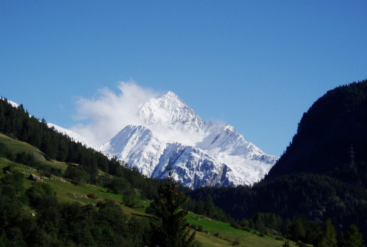
Piz Linard
View on Wikipediafrom Wikipedia
Piz Linard is a pyramid-shaped mountain of the Swiss Alps. At 3,410 m it is the highest peak of the Silvretta mountain range.
Key Information


It was first climbed on August 1, 1835, by the geologist and naturalist Oswald Heer led by Johann Madutz.

There is a legend that a man of name "Chounard" reached the summit in 1572 carrying a large golden cross; however, the cross has never been found.[3][4]
Piz Linard is located between the valleys of Val Lavinuoz (east) and Val Saglains (west), both part of the basin of the Inn river in the Engadine valley.
See also
[edit]References
[edit]- ^ Retrieved from the Swisstopo maps. The key col is the Albula Pass (2,383 m).
- ^ Retrieved from Google Earth. The nearest point of higher elevation is Piz Kesch.
- ^ "Piz Linard". PeakVisor. Retrieved 2021-05-12.
- ^ Krauß, Martin. Der Träger war immer schon vorher da - Die Geschichte des Wanderns und Bergsteigens in den Alpen. Munich: Carl Hanser Verlag. ISBN 978-3-312-00558-1.
External links
[edit]Wikimedia Commons has media related to Piz Linard.
This article about a mountain, mountain range, or peak located in the Grisons is a stub. You can help Wikipedia by expanding it. |