
Community hub
Recent from talks
Contribute something
Nothing was collected or created yet.
Bertioga
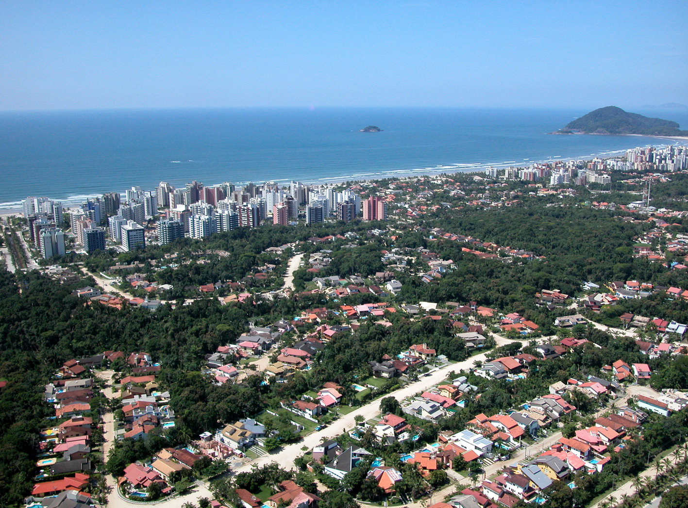
View on WikipediaBertioga is a Brazilian municipality in the state of São Paulo and part of the Baixada Santista Metropolitan Region.[3] Its population is 64,723 (2020 est.) in an area of 490.15 km2.[4] Because it neighbors resort towns, its population fluctuates greatly with the seasons. The more northern parts are densely forested and humanly unpopulated. It was created on 19 May 1991, from a part of Santos.
Key Information


The municipality contains the 9,312 hectares (23,010 acres) Restinga de Bertioga State Park, created in 2010 to protect an area of mangroves, restinga and rainforest.[5] Its limits are Mogi das Cruzes, Biritiba-Mirim and Salesópolis in the north, São Sebastião in the east, Atlantic Ocean to the south with Ilha de Santo Amaro (opposite the city) and Santos in the west.
Media
[edit]Bertioga was served telecommunications by the Companhia Telefônica Brasileira until 1973, when the Telecomunicações de São Paulo took over.[6] In July 1998, it was acquired by Telefónica, which adopted the Vivo brand in 2012.[7] It now sells and operates cell phones, fixed lines, internet access (fiber optic and 4G) and television reception (satellite and cable).[7]
| Year | Pop. | ±% |
|---|---|---|
| 2000 | 30,039 | — |
| 2010 | 47,645 | +58.6% |
| 2022 | 64,188 | +34.7% |
| Source: [8] | ||
Trivia
[edit]Bertioga is where Josef Mengele, a Nazi Germany doctor at Auschwitz, drowned in 1979.[9]
See also
[edit]References
[edit]- ^ IBGE 2020
- ^ "Archived copy" (PDF). United Nations Development Programme (UNDP). Archived from the original (PDF) on July 8, 2014. Retrieved August 1, 2013.
{{cite web}}: CS1 maint: archived copy as title (link) - ^ Assembleia Legislativa do Estado de São Paulo, Lei Complementar Nº 815
- ^ Instituto Brasileiro de Geografia e Estatística
- ^ Parque Estadual Restinga de Bertioga (in Portuguese), Fundação Florestal - Governo do Estado de São Paulo, retrieved 2017-01-17
- ^ "Creation of Telesp - April 12, 1973". www.imprensaoficial.com.br (in Portuguese). Retrieved 2024-05-26.
- ^ a b "Our History - Telefônica RI". Telefônica. Retrieved 2024-05-26.
- ^ "Censo 2022 | IBGE". www.ibge.gov.br. Retrieved 2024-09-04.
- ^ Gibson, Kenneth (31 March 2012). Killer Doctors: The Ultimate Betrayal of Trust. Neil Wilson Publishing. p. 132. ISBN 978-1-906476-59-5.
External links
[edit] Media related to Bertioga at Wikimedia Commons
 Bertioga travel guide from Wikivoyage
- Bertioga City Hall (in Portuguese)
- Portal Nosso São Paulo[permanent dead link] (in Portuguese)
- Bertioga Facebook Page (in Portuguese)
Places adjacent to Bertioga | ||||||||||||||||
|---|---|---|---|---|---|---|---|---|---|---|---|---|---|---|---|---|
| ||||||||||||||||
| International | |
|---|---|
| National | |
This geographical article relating to the Mesoregion of São Paulo is a stub. You can help Wikipedia by expanding it. |