
Community hub
Recent from talks
Contribute something
Nothing was collected or created yet.
Samastipur
View on Wikipedia
Samastipur is a City and Municipal Corporation in Bihar, India. It is the headquarter of Samastipur district and comes under Darbhanga division. The Burhi Gandak River flows through the city. It is one of the five railway divisions of ECR, Hajipur. The Samastipur junction is one of the busiest stations in North Bihar after Patna and Katihar.[5]
Key Information


Demographics
[edit]As of 2011 Indian Census, Samastipur had a total population of 62,935, of which 33,025 were males and 29,910 were females. Population within the age group of 0 to 6 years was 8,252. The total number of literates in Samastipur was 46,416, which constituted 73.8% of the population with male literacy of 77.2% and female literacy of 69.9%. The effective literacy rate of 7+ population of Samastipur was 84.9%, of which male literacy rate was 88.9% and female literacy rate was 80.4%. The Scheduled Castes and Scheduled Tribes population was 9,219 and 249 respectively. Samastipur had 12062 households in 2011.[2]
Education
[edit]Samastipur has several schools and colleges. Most of the colleges are affiliated to the Lalit Narayan Mithila University, Darbhanga.
The Dr. Rajendra Prasad Central Agriculture University, is located near the town, in Pusa. This university was constructed in 1970 near the ruins of Pusa Institute which was the Indian Agricultural Research Institute built during the British regime.
AHS Nursing College & Hospital is a nursing college established in 2023, situated in Tajpur Road, Sub Division Samastipur, affiliated with the Bihar University of Health Sciences and Bihar Nurses Registration Council.[6][7][8]
Transport
[edit]Road
[edit]Bihar State Road Transport Corporation (B.S.R.T.C) operates bus services to the neighbouring states of Jharkhand, West Bengal and Uttar Pradesh.
Rail
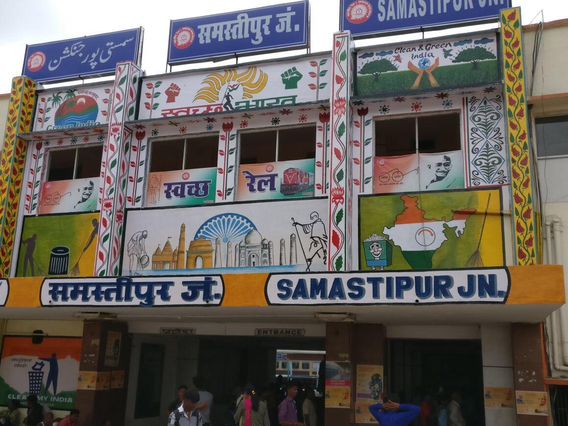
[edit]Samastipur Junction railway station lies in the East Central Railway zone of the Indian Railway network and provides connectivity to most of the regions of India.
Notable people
[edit]- Bali Ram Bhagat,[10] 6th Speaker of Lok Sabha, Governor of Rajasthan, Governor of Himachal Pradesh and former Member of parliament
- Gajendra Prasad Himanshu, politician
- Syed Shahnawaz Hussain, Indian politician, national spokesperson of Bharatiya Janata Party and a cabinet minister
- Ram Balak Singh Kushwaha, two term Member of Bihar Legislative Assembly
- Roshan Kushwaha, Indian Administrative Service officer, District Magistrate of Samastipur.
- N. Mandal, Indian film director, editor and producer
- Anukul Roy, Indian cricketer
- Shilpa Singh, Indian singer, dancer, model and beauty pageant titleholder
- Vivekanand Sinha, Inspector General of Police, Bastar range, Chhattisgarh.
- Vaibhav Sooryavanshi, Indian cricketer
- Karpoori Thakur, politician and independence activist
Villages
[edit]References
[edit]- ^ Thakur, Ripunjay Kumar (1 March 2022). "Historical Geography of Early Medieval Mithila: From Videha to Tirhut". New Archaeological & Genological Society, Kanpur, India. ISSN 2348-8301. Retrieved 21 August 2025.
- ^ a b "Census of India: Samastipur". www.censusindia.gov.in. Retrieved 25 December 2019.
- ^ List of cities in Bihar by population
- ^ List of cities in India by population
- ^ Baranwal, Jigyasu. "Trains to SPJ/Samastipur Junction Station - 162 Arrivals ECR/East Central Zone - Railway Enquiry". indiarailinfo.com. Retrieved 18 February 2019.
- ^ Jha, Vimlesh Kumar (13 September 2024). "List of affiliated nursing colleges under Bihar University of Health Sciences" (PDF). Bihar University of Health Sciences, Patna.
- ^ "एएचएस नर्सिंग कॉलेज को मिली मान्यता". livehindustan.com. Retrieved 17 March 2024.
- ^ "AHS Nursing College & Hospital Samastipur | Sponsoring Bodies and Trustee". ahscollege.ac.in. Retrieved 22 March 2024.
- ^ "IGNOU-RC-Darbhanga - StudyCentres - Annexure 1_Details of Active Learner Support Centres (LSCs) 27 NOV 19". rcdarbhanga.ignou.ac.in. Retrieved 23 December 2019.
- ^ "बलिराम भगत को जब अपनों ने हराया". Hindustan (in Hindi). 22 March 2019. Retrieved 13 April 2021.
| International | |
|---|---|
| National | |