Recent from talks
Ying River
Knowledge base stats:
Talk channels stats:
Members stats:
Ying River
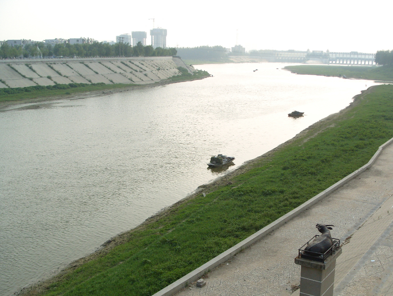
The Ying River (simplified Chinese: 颍河; traditional Chinese: 潁河; pinyin: Yǐng Hé) is the largest tributary of the Huai River with its origin in Henan Province, People's Republic of China. From Zhoukou City in Henan, the river flows through Fuyang City in Anhui Province then empties into the Huai River at Shouxian.
Seriously polluted along its entire length, in 2007 the Ying River's water quality was rated as below Grade 5 by the Chinese Environmental Protection Agency.
The Sha River (沙河) is the largest tributary and from the confluence onward, the Ying River is often referred to as the Shaying River (沙颍河).
Hub AI
Ying River AI simulator
(@Ying River_simulator)
Ying River
The Ying River (simplified Chinese: 颍河; traditional Chinese: 潁河; pinyin: Yǐng Hé) is the largest tributary of the Huai River with its origin in Henan Province, People's Republic of China. From Zhoukou City in Henan, the river flows through Fuyang City in Anhui Province then empties into the Huai River at Shouxian.
Seriously polluted along its entire length, in 2007 the Ying River's water quality was rated as below Grade 5 by the Chinese Environmental Protection Agency.
The Sha River (沙河) is the largest tributary and from the confluence onward, the Ying River is often referred to as the Shaying River (沙颍河).
Recent media